Grassland Fungi Interactive
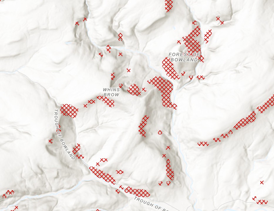
As an output from work earlier this year to collate data and generate predictive mapping for grassland fungi assemblages across Lancashire i have now created an interactive map which takes all areas mapped with a prediction of 60% or better richness and extracts them as vector polygons.
The polygons can now be viewed but should not be used in decision making as they are based on incomplete data and trial methods. The method used to create the prediction does not account for unsuitable habitat and as it factors in terrain and climate it does include predictions over unsuitable habitat where the location otherwise appears ‘good’ for higher than average richness of species (such as woodland on a north facing slope). Removing unsuitable habitat will be a future step in the process and i will update the map as and when that has been done.
For now the current map can be found here: https://experience.arcgis.com/experience/dc651f7ab1204ce4ac3bde8c3747993c
 using WordPress and
No responses yet